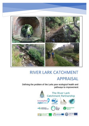
River Lark Catchment Appraisal
Defining the problem of the Lark’s poor ecological health and pathways to improvement.
The river Lark flows for 57km from its headwaters in on the eastern edge of the Newmarket ridge in Suffolk, to its confluence with the river Great Ouse near Littleport, in Cambridgeshire. The catchment covers an area of south of Bury St. Edmunds, flowing north west to Mildenhall. Here the Cut-off channel, a flood relief channel can divert water north to prevent flooding of Mildenhall and the low-lying fenland downstream. Below Isleham the Lark enters the South Level fenland drainage area, a pumped system, where water from the surrounding land has to be lifted into the embanked river. This report is primarily concerned with reaches of the Lark upstream of the cut-off channel that has the potential to support chalk stream ecology, The Lark and its tributaries above Mildenhall can be categorised 3 hydrological types;
1. Ephemeral winterbournes (Lark above Bury St Edmunds, Linnet, upper Cavenham stream, Kennet-Lee Brook)
2. Perennial chalk streams (Culford stream, lower Cavenham stream and Tuddenham Mill stream)
3. Perennial main chalk river – baseflow from groundwater provides year-round flow. Considered to be from below Fornham lock/Sheepwash bridge (B1106) next to the remains of Fornham Park Lock
The environmental drought of 2018-19 had a significant impact on river flow and highlighted the fragility of the Lark’s ecology in the face of mounting human and environmental pressures. The Lark is a historically degraded river but retains the potential to support flourishing chalk river ecology. The River Lark Catchment Partnership (RLCP) has been successful in delivering river habitat restoration projects through the Catchment Based Approach (CaBA) however any ecological improvement is limited by both poor water quality and the impact of abstraction on natural flow. It is hoped that through this catchment appraisal the issues impacting the Lark can be better defined and communicated to key stakeholders in order to develop an action plan that will deliver outcomes to benefit the river Lark.
| 2021-08_lark_catchment_appraisal_-_final_copy.pdf |