About RLCP
The River Lark Catchment Partnership registered as a Charitable Incorporated Organisation (CIO) in 2018, charity number 1177318.
Our Mission
Nurturing the River Lark Catchment, through monitoring and restoration.
Our Objectives
‘To conserve, preserve and improve the River Lark and its catchment area for the benefit of the public, in particular but not exclusively by:
See our latest progress - News
Read our Policies
- Improving access and encouraging the appropriate use of the River and its environs by members of the public.
- Educating the public about the River and its environs
- Facilitating community involvement in the conservation of the River
- Monitoring the River & its catchment and reporting any issues or concerns to the appropriate bodies having statutory responsibility.’
See our latest progress - News
Read our Policies
To see the Environment Agency's Catchment Data for the Lark, go to: https://environment.data.gov.uk/catchment-planning/OperationalCatchment/3249
|
Trustees and management team
Ros Alexander (Chair, Trustee) Caroline Chamberlain (Trustee) Will Cranstoun (Trustee) Chris Hainsworth (Trustee) Andrew Hinchley (Trustee) Peter Lack (Trustee) Graham Showell (Trustee) Jim Stephens (Treasurer, Trustee) Prof William Sutherland (Trustee) Steph Holland (Volunteer Coordinator, Citizen Science Manager) Glenn Smithson (Restoration Leader) Mariana Sandifer (Citizen Science Technical Advisor) Plus volunteers, members and associate members from across East Anglia. |
Partner Organisations
Anglian Water BFER Bury Water Meadows Group Bury Trout Club CaBA CamEO Environment Agency Fornham All Saints Parish Council Fullers Mill Garden Lark Angling and Preservation Society Natural England Norfolk Rivers Trust Suffolk County Council The Rivers Trust Water Resources East West Stow Country Park West Suffolk Council Wild Trout Trust |
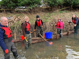
RLCP's management team at Fullers Mill, July 2022: Andrew Hinchley, Jim Stephens, Glenn Smithson & Steph Holland
If you would like to join our fantastic team of volunteers, sign up at https://riverlark.org.uk/index.php/join-us/volunteer/
Become a member at https://riverlark.org.uk/index.php/join-us/membership-form/
Get in touch to become a sponsor [email protected]
Make a donation at paypal.me/riverlarkcp
Read some key reports and documents here: https://www.riverlark.org.uk/reports
Catch up with RLCP's meetings and documents at: https://www.riverlark.org.uk/rlcpdocuments
Read our policies at: https://www.riverlark.org.uk/policies
Get in touch via email: [email protected]
Find us on Facebook and Instagram at @riverlarkcatchmentpartnership
The River Lark
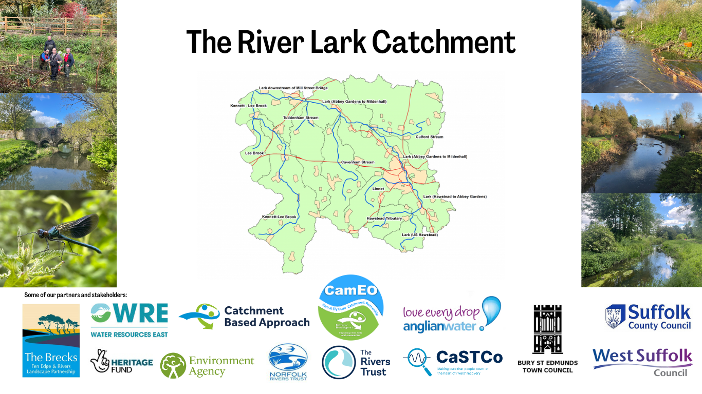
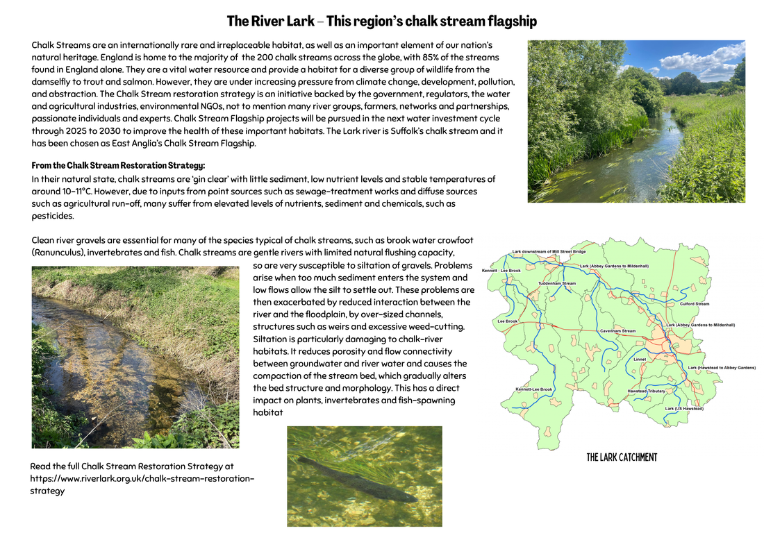
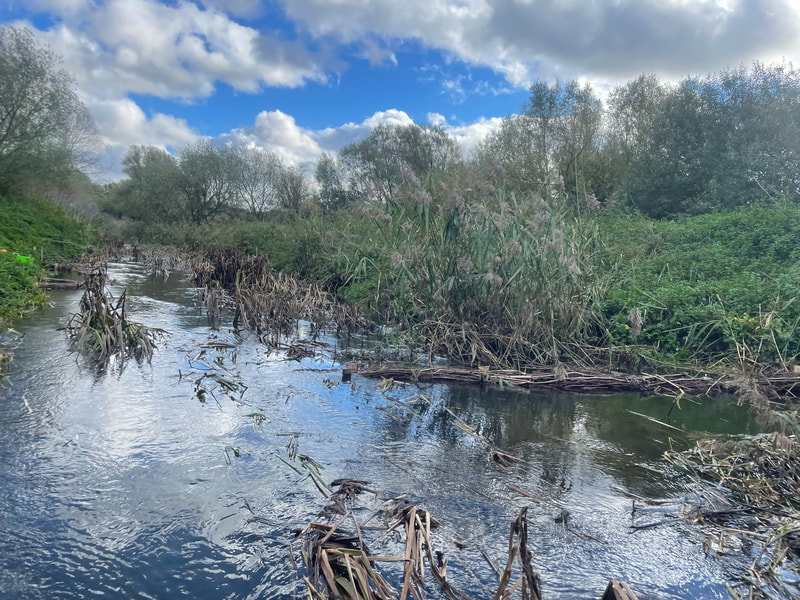
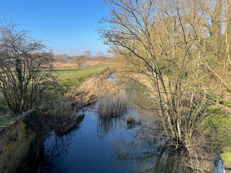
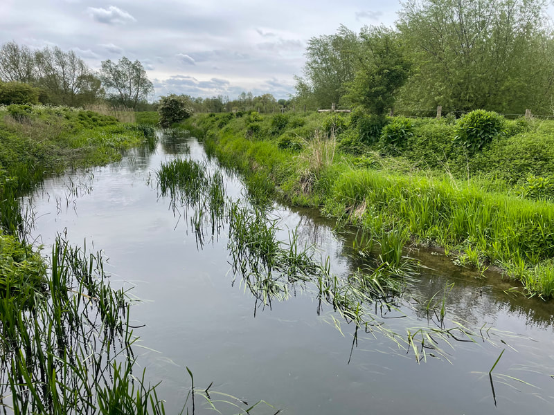
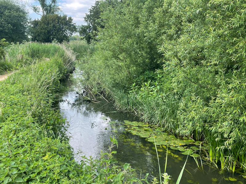
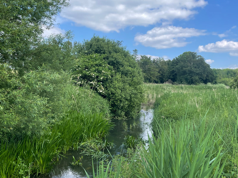
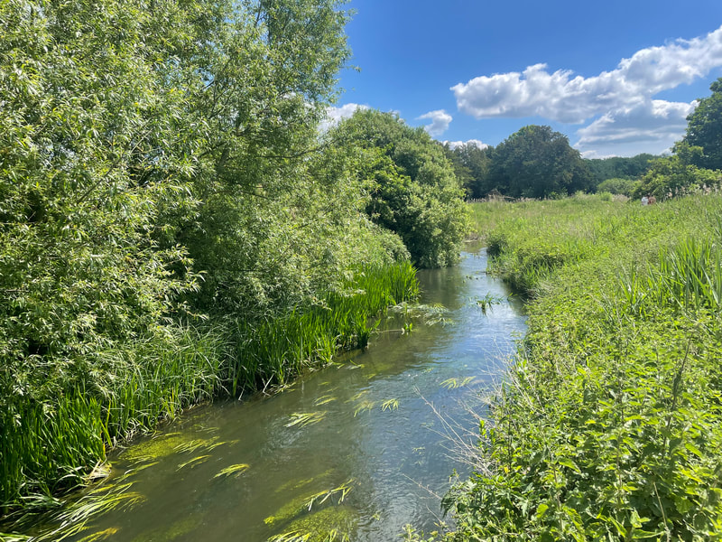
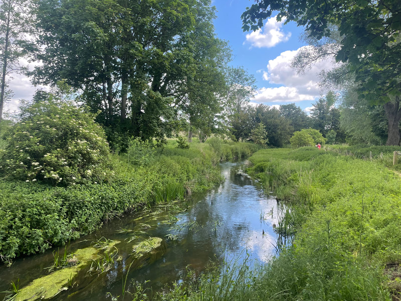
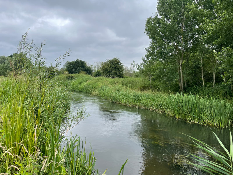
The river Lark flows for 57km from its headwaters in on the eastern edge of the Newmarket ridge in Suffolk, to its confluence with the river Great Ouse near Littleport, in Cambridgeshire. The catchment covers an area south of Bury St. Edmunds, flowing north west to Mildenhall. Here the cut-off channel, a flood relief channel can divert water north to prevent flooding of Mildenhall and the low-lying fenland downstream. Below Isleham the Lark enters the South Level Fenland drainage area, a pumped system, where water from the surrounding land has to be lifted into the embanked river. The reaches of the Lark upstream of the cut-off channel have the potential to support chalk stream ecology.
The Lark and its tributaries above Mildenhall can be categorised 3 hydrological types;
1. Ephemeral winterbournes (Lark above Bury St Edmunds, Linnet, upper Cavenham stream, Kennet-Lee Brook)
2. Perennial chalk streams (Culford stream, lower Cavenham stream and Tuddenham Mill stream)
3. Perennial main chalk river - baseflow from groundwater provides year-round flow. Considered to be from below Fornham lock/Sheepwash bridge (B1106) next to the remains of Fornham Park Lock
The environmental drought of 2018-19 had a significant impact on river flow and highlighted the fragility of the Lark’s ecology in the face of mounting human and environmental pressures. The Lark is a historically degraded river but retains the potential to support flourishing chalk river ecology. The River Lark Catchment Partnership (RLCP) has been successful in delivering river habitat restoration projects through the Catchment Based Approach (CaBA) however any ecological improvement is limited by both poor water quality and the impact of abstraction on natural flow. It is hoped that through the catchment appraisal the issues impacting the Lark can be better defined and communicated to key stakeholders in order to develop an action plan that will deliver outcomes to benefit the river Lark.
The Lark – one of England’s Chalk rivers
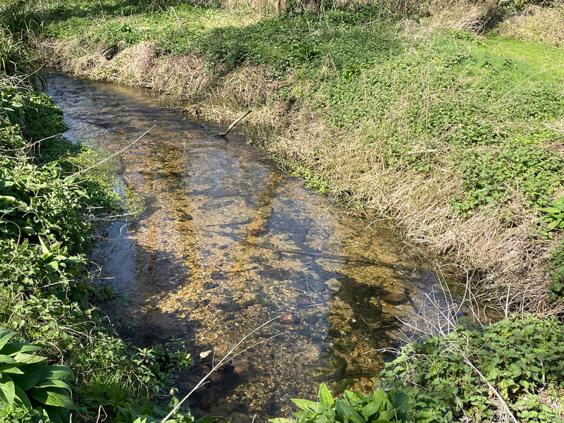
The River Lark is one of only 200 chalk rivers, a globally rare habitat that is capable of supporting an array of iconic species such as brown trout, kingfisher and water vole. What makes chalk rivers so special is the exceptional quality, temperature and consistent flow that supports a unique aquatic ecosystem. The water gains these properties when rainfall infiltrates the soil and enters the porous, fissured chalk bedrock that underlies the catchment. The chalk rock or aquifer acts as an underground reservoir with water emerging into the base of the river or from natural springs that feed its winterbourne ephemeral upper tributaries. It is the historically clean and plentiful water stored in the chalk that gives life to the Lark, its people and its economy.
(Sam Hurst, from River Lark Catchment Appraisal)
Photos by Steph Holland
